The Historical Maps of Mashhad | An Interactive Online Version for Historical Urban Analysis
Historical city maps are among the most valuable tools for urban planning, urban regeneration, and the study of spatial development. Researchers, students, and those interested in urban history often seek digital versions of old city maps to explore how urban structures and neighborhoods have transformed over time.
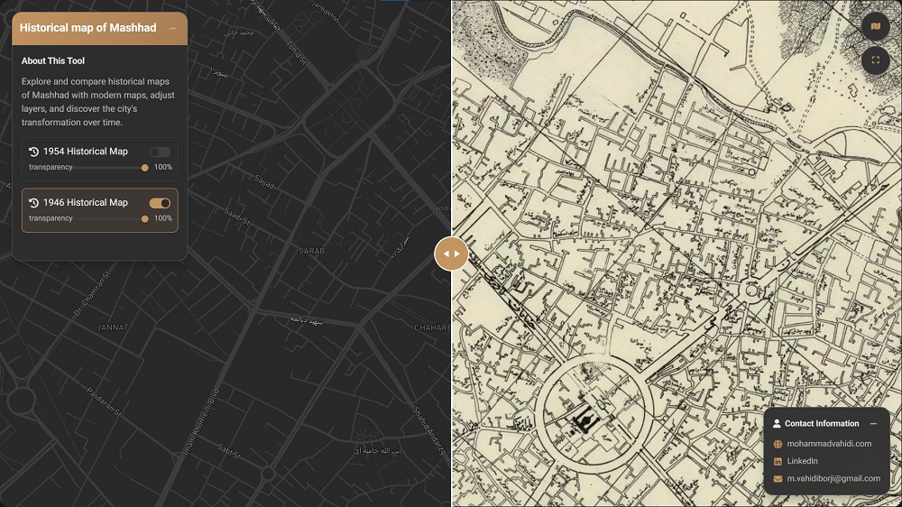
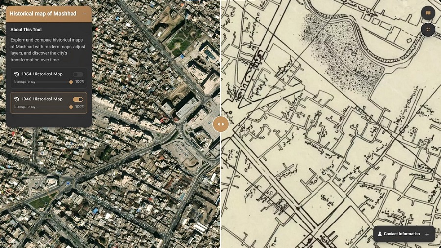
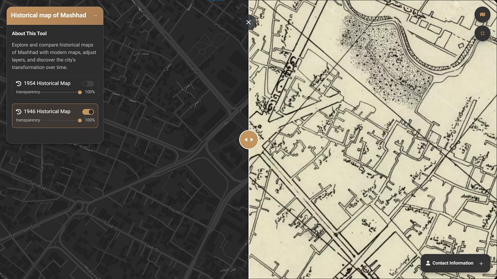
This article introduces the digitized version of the 1954 Mashhad map—commonly referred to as the “Infantry Map”—and presents it as an interactive WebGIS platform designed to support research and urban analysis.
Analyzing historical maps is a cornerstone of urban planning and urban management. These maps provide essential insights into spatial change, urban growth patterns, and neighborhood transformations. Their applications extend across multiple fields, including:
Urban Regeneration: Identifying historical urban patterns and culturally valuable buildings.
Urban Growth Analysis: Comparing past and present spatial structures of the city.
Sustainable Planning: Using historical evidence to inform better decision-making.
Academic Research: Supporting theses, dissertations, and urban research projects.